Weather Forecast for Pattaya and Eastern Part
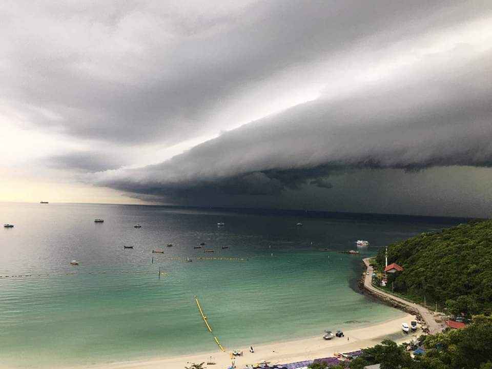
Scattered thundershowers mostly in Nakhon Nayok, Prachinburi, Sa Kaeo, Rayong, Chanthaburi, Chonburi (Pattaya and Koh Larn) and Trat.
Minimum temperature 24-26 °C. Maximum temperature 32-34 °C. Southeasterly winds 10-30 km/hr. Wave below 1 meter and above 1 meter in thundershowers.
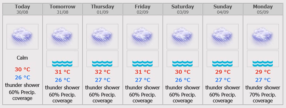
7 days Weather Forecast
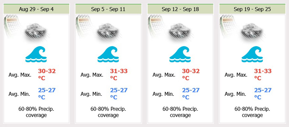
During 31 Aug – 3 Sep, the moderate southwest monsoon prevails over the Andaman Sea, Thailand and the Gulf is strengthening with isolated heavy rains.
During 4 – 5 Sep, the monsoon trough will lie across the North and the Northeast while the moderate southwest monsoon prevailing over the Andaman Sea, Thailand and the Gulf is strengthening with more rain and isolated heavy rains are forecast over the country. The wave in the Andaman Sea and the upper Gulf are likely 1 – 2 meter high and above 2 meters high in thundershowers.
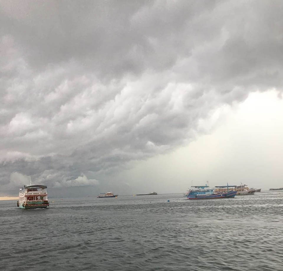
Tropical depression Ma-On has downgraded to an active low pressure over upper Laos. It is forecast to downgrade to the low cell over upper Myanmar.
As of Aug 30, there is a tropical storm No. 11 called Hin Nam Noo (HINNAMNOR), named by Lao PDR in which the Thai Meteorological Department has revealed the path of the storm in the Pacific Ocean tends to move west and is still far from Thailand.

 |
 |
 |


