Thai officials are hoping to get a better grasp on environmental changes affecting the kingdom by watching the country from space.
At a Jan. 25 seminar at the Amari Orchid Resort & Tower, officials from the Science Ministry’s Geo-Informatics and Space Technology Development Agency provided an overview on how imagery from the THEOS satellite, unmanned aerial drones and radar are helping scientists monitor rising sea levels, deforestation, drought and sink holes.
GISTDA Director Anont Snitwongse Na Ayuthaya explained that space-based cameras can have many uses and encouraged audience members to suggest even more ways the agencies imagery and data could be used to benefit the country.
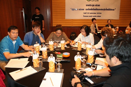
 With aerial photos dominating the walls behind them, officials from the Science Ministry’s Geo-Informatics and Space Technology Development Agency discuss how to get a better grasp on environmental changes affecting the kingdom by watching the country from space.
“From the current environmental changes, elevation of sea levels, scarcity of water resources, loses of aquatic and forest resources or even sinking of land, we’ve become concerned over how to make our country survive with planning for progress and financial, industrial and agricultural development,” Anont said.
Among the projects GISTDA helped create are tsunami warning systems, a database on water sources for communities, tourism promotion and fire tracking.


