Weather Warning
“Tropical Cyclone Storm AMPHAN over the upper Bay of Bengal”
No. 9 Time Issued: May 20, 2020
At 10.00 a.m. today (20 May 2020) Tropical Cyclone Storm AMPHAN is due at 20.5 degrees north, latitude 88.0 degrees east with maximum sustained winds of about 180 km/h. The storm is moving north at a speed of about 16 km/hr. It is expected to make landfall over upper India and Bangladesh by tonight (20 May 2020)
The rather strong southwest monsoon prevails across the Andaman Sea and Thailand. Heavy rains will be forecast in some parts of Thailand. People in the areas should beware of severe conditions.

The moderates wind waves are likely in the Andaman Sea. From Phuket passing north, with the wave height about 2 meters and more than 2 meters high in thundershowers. All ships should proceed with caution, keep away from the storm and small boats keep ashore until 21 May 2020
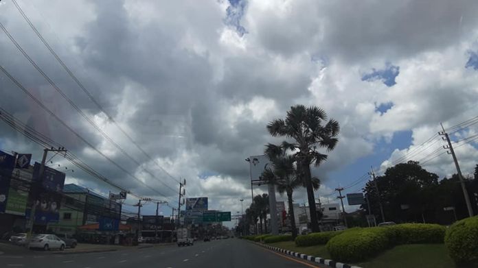
Weather Forecast for Pattaya City and Eastern Part Weather
Cloudy with scattered thundershowers and isolated heavy rain in Chonburi, Rayong, Chanthaburi and Trat. Minimum temperature 26-28 °C. Maximum temperature 34-36 °C. Southwesterly winds 15-30 km/hr. Wave height about 1 meter and 1-2 meters in thundershowers areas.
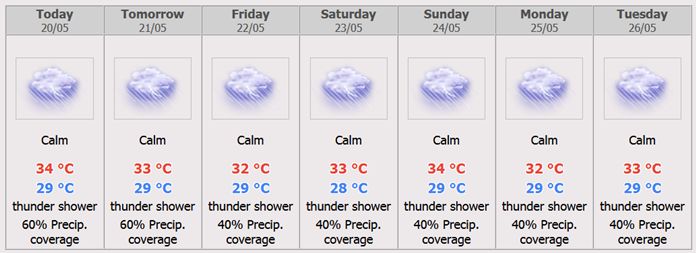
Scattered thundershowers throughout the period with isolated heavy rain during 20 – 21 May. Southwesterly wind 15-30 km/hr. Wave height about 1 meter and 1- 2 meters in thundershowers areas. Minimum temperature 23-25°C. Maximum temperature 32-36°C.
 |
 |
 |


