PATTAYA, Thailand – Pattaya is currently experiencing a stifling mix of high heat, strong coastal winds, and scattered showers, as the rest of Thailand faces a more turbulent weather pattern. Temperatures in the city remain around 34–35°C, with high humidity making the air feel even heavier. Brief rain showers and gusty winds provide only temporary relief before the sun returns, keeping locals and visitors in the midst of a steamy, unsettled atmosphere.
The Meteorological Department has issued warnings for northern, northeastern, and western southern provinces, where heavy rains could trigger flash floods and landslides, especially in mountainous and low-lying areas. Residents of Mae Hong Son, Chiang Mai, Chiang Rai, and Nan are urged to remain vigilant. Meanwhile, Bangkok and the surrounding areas are expecting thunderstorms covering about 40% of the region, with temperatures ranging from 26–27°C in the early morning to highs of 33–35°C.
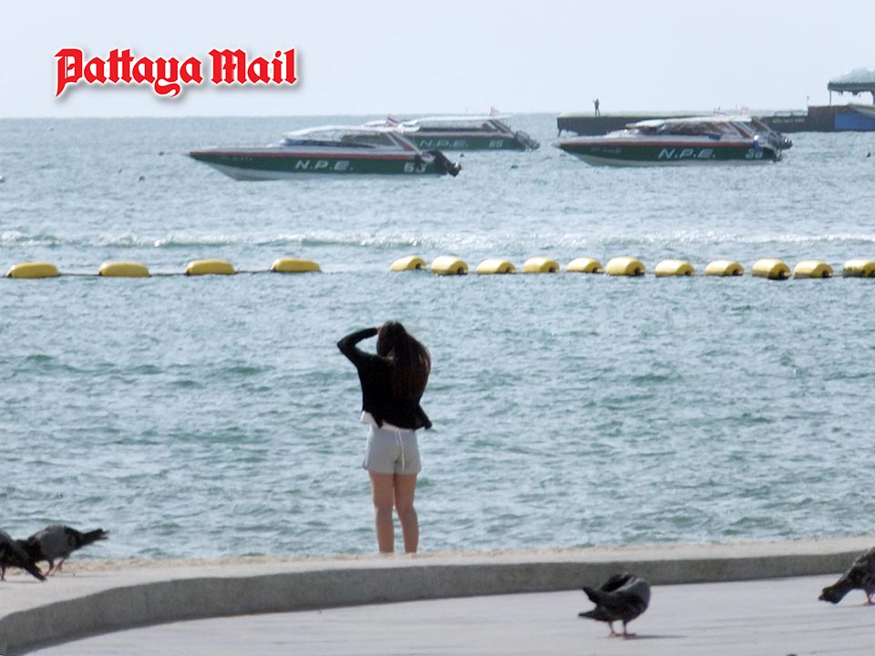
Pattaya’s coastal waters are moderately rough, with the upper Andaman Sea seeing waves around 2 meters high, and the upper Gulf of Thailand experiencing waves of 1–2 meters. Areas under thunderstorms could face waves exceeding 2 meters, prompting authorities to advise boaters to navigate cautiously or avoid venturing out.
The current conditions are influenced by a monsoon trough stretching across northern Thailand into low-pressure systems over Laos and northern Vietnam, combined with a moderate southwest monsoon covering the Andaman Sea, Thailand, and the Gulf of Thailand. Forecasters also note a strong low-pressure area in the upper South China Sea, which may intensify into a tropical cyclone in the coming days.
For now, Pattaya sits in a delicate balance — hot and humid, yet skirted by storms and rough seas nearby. Authorities advise vigilance as winds shift and sudden showers may strike, even as the city largely escapes the worst of the tropical disturbances at this moment.


