The government is continuing to address land issues that affect various groups of people, with the prime minister expressing satisfaction with the allocation of 5.7 million rai of land for local residents to make a living. He also endorsed a revision of land boundary maps in 11 provinces.
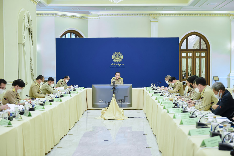
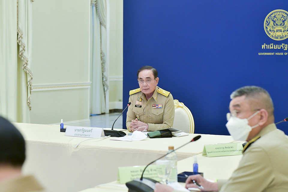
Prime Minister Gen Prayut Chan-o-cha this week presided over a meeting of the national land policy committee, where he urged relevant parties to continue addressing overlapping claims. This would apply to overlaps between state agencies as well as between the state and private citizens.
The premier also asked relevant agencies to continue their work so the plight of those who are without land to make a living can be alleviated.
The prime minister noted that the committee’s work involves allocating land to communities, with nearly 1,500 target areas encompassing 5.7 million rai of land having been designated in 70 provinces nationwide. Permits have been issued for 419 of these areas, encompassing 1.5 million rai of land. About 78,000 persons have already made use of 96,500 plots of the allocated land in 350 target areas. Career promotion has meanwhile been undertaken in 270 target areas across 65 provinces.
The meeting endorsed the use of a revised 1:4000 ratio map depicting land boundaries in 11 provinces. These provinces are Nakhon Ratchasima, Buriram, Prachinburi, Maha Sarakham, Roi Et, Chaiyaphum, Sa Kaeo, Surin, Ubon Ratchathani, Phetchabun, and Loei. An exception is being made for land boundaries related to Khao Yai national park.
The meeting also endorsed guidelines for addressing land boundary issues in Thap Lan national park, along with a boundary dispute involving Phra Thaen Dong Rang forest park and Phra Thaen Dong Rang Temple in Kanchanaburi. (NNT)

 |
 |
 |


