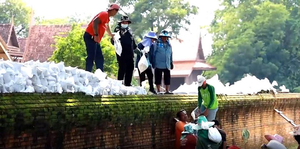
The Fine Arts Department mobilized its workers to raise floodwalls to protect archaeological sites as the levels of Chao Phraya and Pa Sak Rivers were rising.
At Wat Chaiwatthanaram which is the lowest site, its 150-meter-long floodwalls were elevated by another 50 centimeters for the total height of 2 meters and its top is 1.50m higher than the level of the Chao Phraya River. Sandbags were placed to reinforce the western floodwall which had collapsed in 2011.
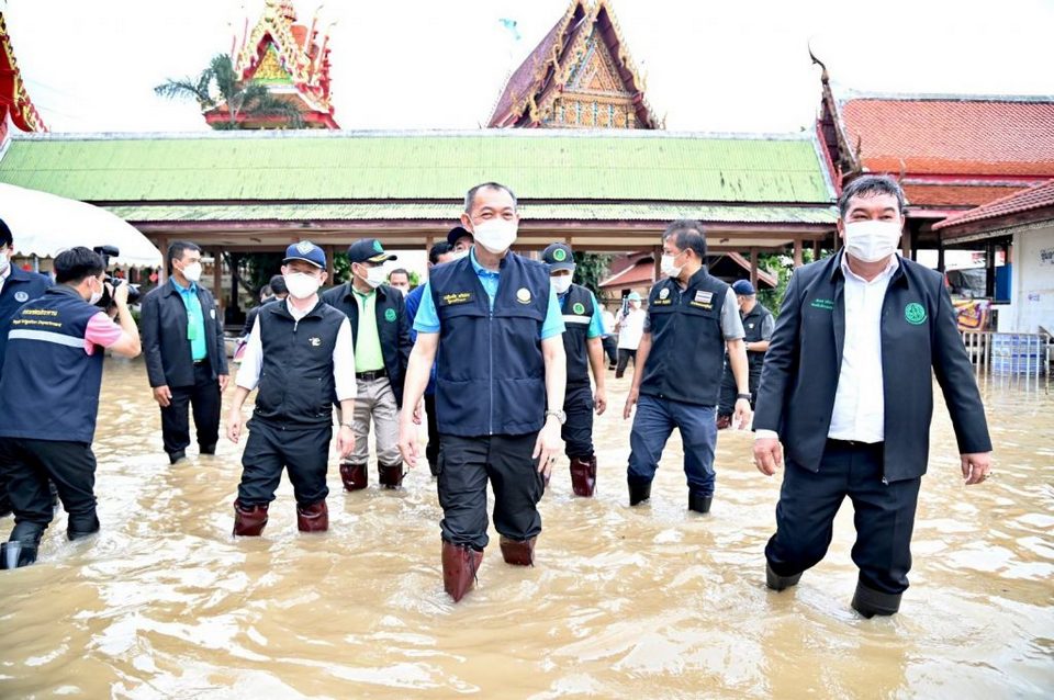
Agriculture and Cooperatives Minister Chalermchai Sri-on assured that the 2011 flooding catastrophe would not recur this year but people who lived downstream along the Chao Phraya River outside flood embankments would suffer overflows from the river below the Chao Phraya dam in Chai Nat province. He ordered concerned organizations to help flood victims.
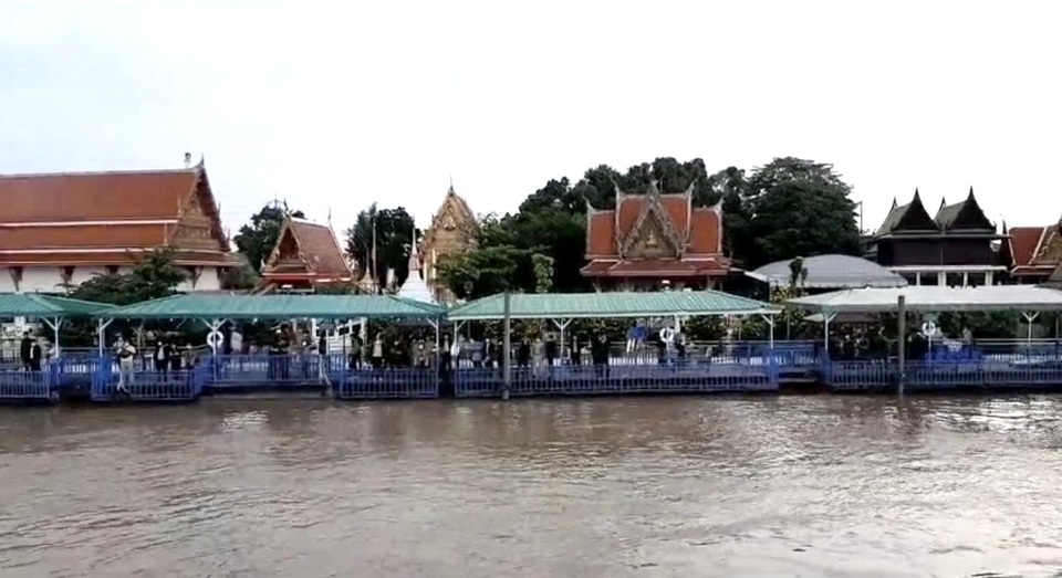
Prapit Chanma, director-general of the Royal Irrigation Department, said water levels would rise in Bangkok, Nonthaburi and Pathum Thani from Oct 7 to 10. The department was draining water into the sea and also diverting water into 10 water retention areas, he said. (TNA)
 |
 |
 |


