HONG KONG – Foreign news outlet SCMP News reported that Tropical Storm Wipha intensified into a typhoon shortly before midnight.
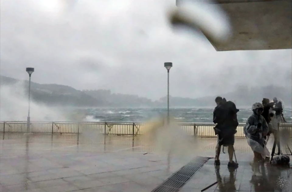
The Hong Kong Observatory issued the No. 10 Hurricane Signal — the highest storm warning level — at 9:20 AM on Sunday, July 20, warning that Typhoon Wipha posed a “serious threat” to the city. The storm was expected to move southward, about 50 kilometers from the city center, around noon.
The No. 10 signal, indicating sustained wind speeds of at least 118 kilometers per hour, was last issued during Super Typhoon Saola in 2023, which caused 86 injuries, landslides, and thousands of fallen trees.
So far, Typhoon Wipha has resulted in one reported injury (a man) and two reports of fallen trees. A total of 198 residents have taken shelter in government emergency centers.
The No. 9 warning was issued at 7:20 AM on Sunday — seven hours after the first No. 8 signal of the year was raised. Severe weather persisted throughout the day, with heavy rain and strong gusts.
Following the cancellation of 500 weekend flights, the Airport Authority stated that around 400 flights could resume service as early as Sunday afternoon once the typhoon moves away from the city. The airport is expected to be “extremely busy” Sunday night, with a projected passenger load of up to 100,000.
Several MTR train lines remained in limited operation, although routes such as the Light Rail and Airport Express had already been suspended. Additionally, most ferry and bus services were halted.


