
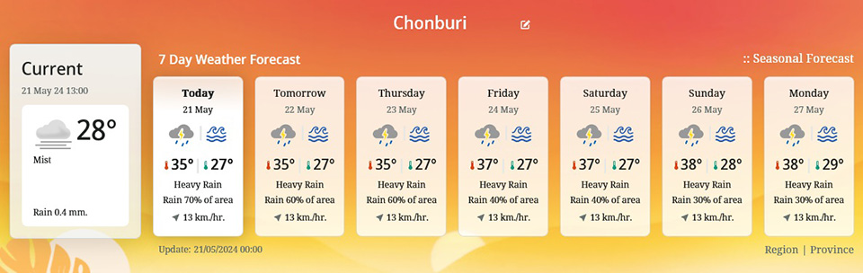
The Meteorological Department has revealed that Thailand will experience increased rainfall with heavy rain in some areas. Residents in these areas are advised to be cautious of potential dangers from heavy to very heavy rainfall. For Bangkok and its vicinity, there is a 70% chance of thunderstorms, strong winds, and heavy rain in some areas.
The weather forecast for the next 24 hours indicates that the southwesterly winds covering the Andaman Sea, Thailand, the South, and the Gulf of Thailand are strengthening. Concurrently, the confluence of southeasterly and southwesterly winds over the North and Northeast regions, combined with a low-pressure area over the Northeast, will result in increased rainfall and heavy rain in certain areas of Thailand. Specifically, very heavy rain is expected in some parts of the North, Northeast, East, and western South regions. Residents in these areas should be cautious of potential flash floods and runoff, especially in hilly areas near waterways and low-lying regions, and be careful when traveling through stormy areas.
The sea waves in the Andaman Sea and the Gulf of Thailand are becoming stronger. In the upper Andaman Sea, waves are about 2 meters high and more than 2 meters high during thunderstorms. Mariners in these areas should proceed with caution and avoid sailing in stormy areas.
From May 22-26, the low-pressure area over the lower Bay of Bengal is expected to intensify and move towards the upper Bay of Bengal. This will result in a stronger southwest monsoon over the Andaman Sea and the South, leading to increased rainfall with heavy to very heavy rain in some areas in the South. In the upper Andaman Sea, waves will be 2-3 meters high and more than 3 meters high during thunderstorms.
In the lower Andaman Sea, waves will be about 2 meters high and more than 2 meters high during thunderstorms. In the Gulf of Thailand, waves will be about 1 meter high and 1-2 meters high offshore, and more than 2 meters high during thunderstorms. Mariners in the lower Andaman Sea and the Gulf of Thailand should exercise caution and avoid sailing in stormy areas, while those in the upper Andaman Sea should refrain from sailing during this period.
For Bangkok and its vicinity, there is a 70% chance of thunderstorms, strong winds, and heavy rain in some areas. The minimum temperature will be 25-26°C, and the maximum temperature will be 33-37°C.


