

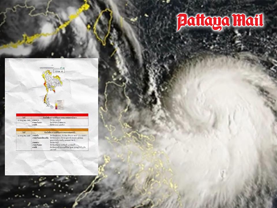
PATTAYA, Thailand – The Meteorological Department has issued a weather warning for strong winds, heavy rain and rough seas as a powerful southwest monsoon continues to affect Thailand from July 12–15. Pattaya and other areas along the Eastern coast are being urged to monitor conditions closely as the strengthening monsoon brings increased rainfall and rougher seas.
The warning, issued on July 12, said the southwest monsoon covering the Andaman Sea, Thailand and the upper Gulf of Thailand has strengthened, causing dangerous sea conditions and heavy rainfall in several areas.
Waves in the upper Andaman Sea are expected to reach 2–4 metres, with waves higher than 4 metres possible during thunderstorms. The lower Andaman Sea and upper Gulf of Thailand may experience waves of 2–3 metres, increasing above 3 metres in areas affected by storms.
The Meteorological Department advised fishermen and boat operators in both the Andaman Sea and Gulf of Thailand to exercise extreme caution and avoid sailing during thunderstorms. Small boats are advised to remain ashore during the warning period.
Heavy to very heavy rainfall is expected in parts of southern Thailand’s western coast, western Central Thailand and the eastern region from July 12–14. Eastern provinces including Chanthaburi and Trat are among areas expected to experience the greatest impact, while Pattaya and Chonburi residents are advised to remain alert for changing weather conditions, heavy showers and rough seas.
Five provinces — Kanchanaburi, Chanthaburi, Trat, Ranong and Phang Nga — have been placed under a red alert for possible heavy rainfall. Residents in these areas are warned to watch for flash floods and forest runoff, especially those living near foothills, waterways and low-lying areas.
The department also warned that accumulated rainfall could increase the risk of sudden flooding, particularly in areas with poor drainage or near rivers and streams.
Meanwhile, Typhoon Bavi has already made landfall in Zhejiang Province, China. The storm is expected to weaken into a tropical storm and then a depression. Although Bavi will not move into Thailand and will not directly affect the country, it is strengthening the southwest monsoon, contributing to stronger winds and rainfall. Authorities urged residents, boat operators and travelers to monitor weather updates and plan activities carefully during the affected period. The public can follow updates from the Meteorological Department website or contact its 24-hour hotline at 1182.