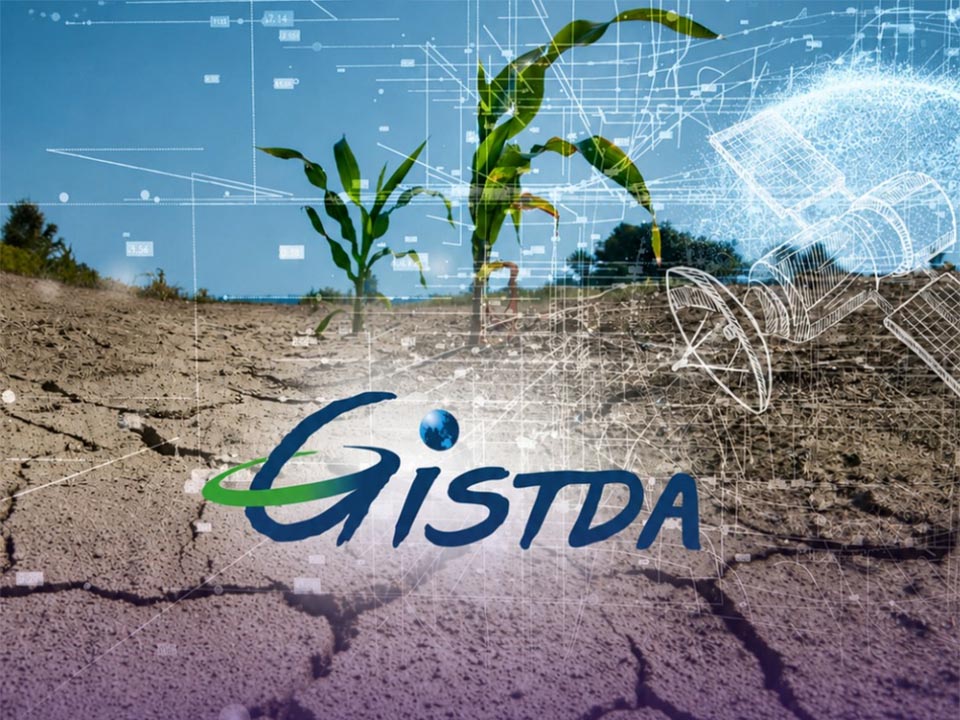
BANGKOK, Thailand – The Geo-Informatics and Space Technology Development Agency (GISTDA) has launched the “Check Laeng (Drought)” platform, an AI-based geoinformatics system developed to monitor drought conditions and water risks nationwide. The platform uses Earth observation satellite data, combined with artificial intelligence and analytical modeling, to assess Thailand’s water situation amid concerns about El Niño conditions and prolonged dry spells expected in 2026.
The system can analyze drought-prone areas, assess agricultural damage, and forecast water demand in specific regions. Authorities expect the platform to support water management planning, disaster monitoring, and government decision-making during increasingly unpredictable weather conditions linked to climate change.
GISTDA is also continuing development of several other geoinformatics platforms, including “Carbon Atlas” for environmental and carbon monitoring, “SGi Farm” for smart agriculture, “Life Dee (Good)” for public service data integration, and “LandX” for land-use analysis.
The agency said it is now working to advance Thailand toward becoming a “Data-Driven Nation” over the next three years through expanded use of geospatial and location-based data. GISTDA is also continuing work under the government’s “Space Innovation Thailand” policy while expanding international cooperation in space technology and geoinformatics development. (NNT)


