PATTAYA, Thailand – Thailand’s wildfire hotspot situation has begun to ease, though significant activity persists in forested areas, while neighboring countries continue to report high levels, according to Geo-Informatics and Space Technology Development Agency (GISTDA).
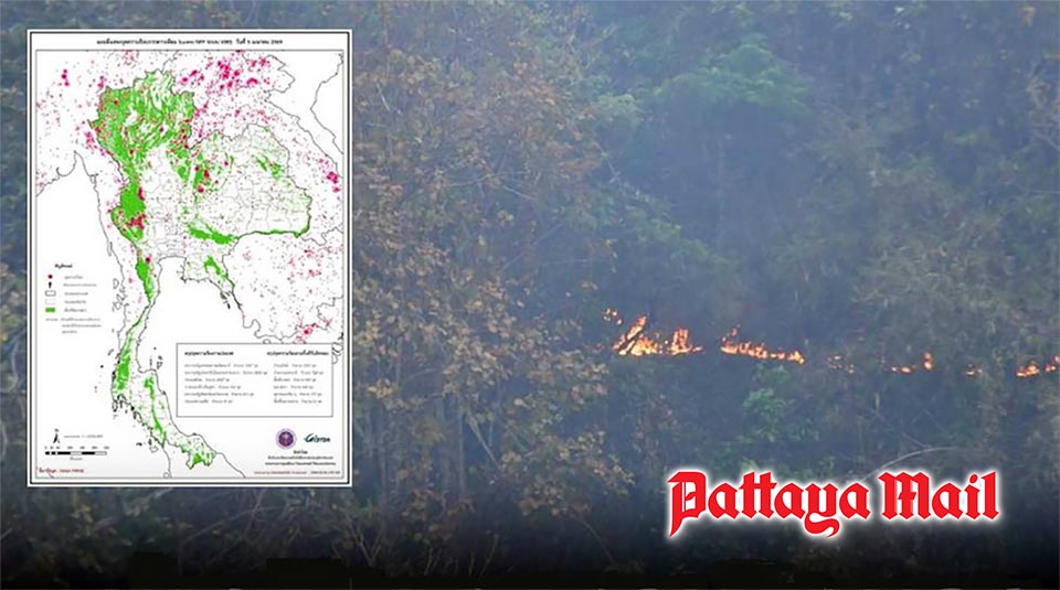
Satellite data from the Suomi NPP using the VIIRS system recorded 2,927 hotspots nationwide on April 5, marking a decrease from the previous day.
Most hotspots remain concentrated in forest areas. The highest number was found in protected forests (1,507 points), followed by national reserved forests (722), agricultural land (328), land reform areas (188), community and other areas (170), and highway zones (12).
However, the broader regional picture remains concerning. Myanmar recorded the highest number of hotspots at 3,397, followed closely by Laos with 3,296. Cambodia reported 712, Vietnam 663, and Malaysia 31.
The data suggests that while Thailand’s domestic situation is improving, transboundary haze from regional burning may continue to affect air quality, particularly in Northern provinces where PM2.5 accumulation remains a concern.
Authorities are urging the public to monitor real-time hotspot data via GISTDA’s platform to better assess conditions and plan daily activities accordingly. (TNA)


