

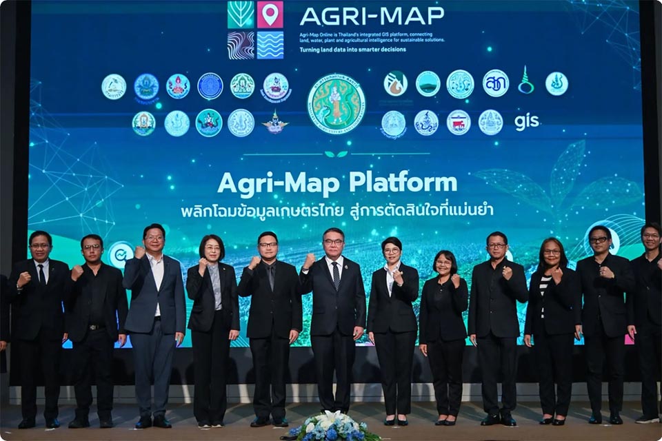
BANGKOK, Thailand – The Ministry of Agriculture and Cooperatives has launched the Agri-Map Platform, using Big Data, artificial intelligence, and geospatial information to help farmers plan production more accurately, reduce risks, and identify market opportunities. Assistant Minister Chai Watcharong presented the system in Bangkok as a tool to match agricultural activities to local conditions, natural resources, and market demand.
Developed by the Land Development Department (LDD), Agri-Map functions as a central agricultural information system, integrating data from multiple agencies. LDD Director-General Sumitra explained that it covers cultivated land, soil quality, water resources, farmer information, disaster-affected areas, purchasing locations, and markets, providing a shared information base for policymakers, specialists, field officers, and farmers.
The platform includes Agri-Map Executive, Agri-Map Pro, Agri-Map Plus, Agri-Map Online, and Agri-Map Mobile. AI analyzes soil conditions, water resources, rainfall, and historical yields to assess land suitability and appropriate production periods. Farmers can use the system to determine which crops or livestock are suitable for their areas and identify potential markets before making production decisions.
Agri-Map can also support disaster response, agricultural management, and targeted government assistance through updated location-specific data. The ministry plans to develop it into national agricultural data infrastructure, reducing duplication among agencies while helping farmers make better-informed decisions and improve opportunities for sustainable income. (NNT)