In 1970, the United States Clean Air Act underwent major revisions to reduce pollution and protect air quality, President Nixon created the Environmental Protection Agency, and NASA scientists were cracking open the door on a new era of studying our home planet from space.
The first black-and-white satellite images of Earth were just ten years old: a swirling mass of white clouds over back oceans. The first measurements of Earth’s temperature from space were made just a year prior in 1969 by Nimbus 3, a joint mission with the National Oceanic and Atmospheric Administration, which became a major step in improving weather forecasts.
NASA scientists and engineers, in partnership with the U.S. Geological Survey, were two years away from launching the first Landsat satellite in 1972, beginning a now-48-year continuous record of Earth’s land surfaces that have shown dramatic changes in forests, farming, water use, and cities over time.
International scientists were 15 years away from observing proof of significant damage to the upper atmosphere ozone layer that protects life on Earth from harmful ultraviolet radiation. The 1985 Antarctic ozone hole was confirmed by data from NASA satellites and led to the 1987 Montreal Protocol, the most successful international environmental intervention to date.
In the 50 years since the first Earth Day, the view from space has revolutionized our understanding of Earth’s interconnected atmosphere, oceans, freshwater, ice, land, ecosystems, and climate.
NASA has been at the forefront of innovation, both of the technology capable of observing properties of the Earth and in the research and researchers that take those observations and combine them with ground data and computing power to create a more holistic picture of our changing planet. Then, NASA takes one more step to get our satellite data and research into the hands of people working on the ground to solve problems and meet environmental challenges facing their communities, today and for the future.
Looking ahead at the next 50 years, we’ve asked researchers across the agency about the big questions in their fields and the role they see NASA playing to meet those challenges, from crop and water management to disaster preparedness and pollution reduction. We’ve shared them here in their own words.
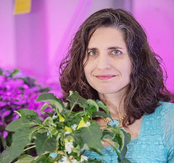
I work in the area of space crop production and currently our focus is looking at supplementing the astronauts’ packaged diet with fresh produce that can be grown on the International Space Station and on longer duration missions later on. The lettuce crops that we grew in the Veggie Chamber were very similar between space and ground in terms of their nutrition and their microbiology. Plants are going to be critical for human exploration and especially as we go on to Mars. We’re going to have to become more self-sustainable and be able to produce a larger percentage of our food the more that we colonize space.
A lot of things have spun off from research for space crop production, which are now very important for Earth-based agriculture. We’re learning a lot from the people that are developing controlled environment farming systems indoors, usually in big cities to help provide fresh produce, and we are translating a lot of our space research back to them. In the future I think we’ll see more research on making plant growth systems more sustainable, for example, being able to recycle all of the inedible plant material. Things that we might think of as wastes, we have to think of as resources. Another area where I see changes coming is understanding the microbiome of the crop, where we really understand how plants, humans, and the microbiology interact, and then learn how to use this microbiome to protect plants and food.
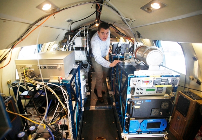
Space is a great vantage point to view the Earth and how it changes over days, months and years — but the satellites are so far away. Imagine peering through a powerful camera that’s hundreds of miles away and trying to decipher the image. Some of the small details are bound to get lost, so we use airplanes, balloons and UAVs to get a closer look at what’s going on in the atmosphere.
In the future, we want to really understand what the air quality looks like at “nose-level,” where people are living and breathing. New geostationary satellites — one that was launched by South Korea this year and two that will launch in coming years, one from the U.S. and one from Europe — will measure air pollution every hour over specific regions of the world using passive remote sensors called spectrometers, which make measurements from reflected light. This will be transformative in how we track the movement of pollution in the coming decades.
Critical for giving us improved vertical views of Earth’s atmosphere will be active remote sensors such as radars, which use radio waves to make measurements, and lidars, which use lasers. Future versions of these instruments could be particularly useful in cloudy areas of the world where passive satellite imagers struggle to distinguish between particles in clear air and cloud droplets. It’s hard to draw a sharp line on where a cloud begins and ends, and some people have termed the transition region from clear to cloudy sky as the “twilight zone.” High resolution vertical data from these active sensors holds especially great promise in these regions.
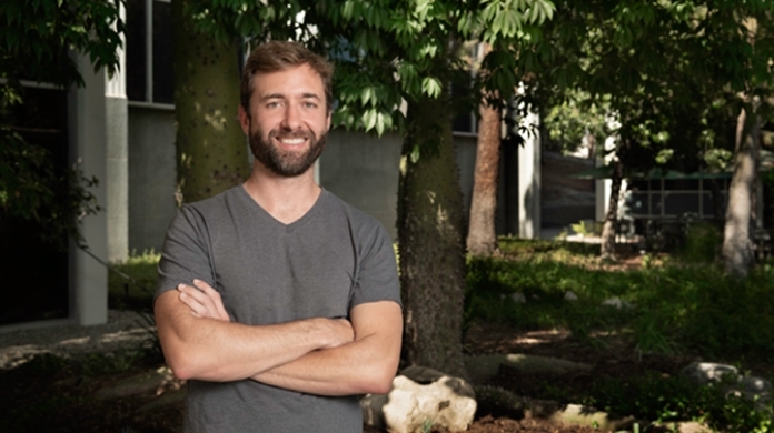
As Earth Scientists, we’re kind of like doctors for the planet. Just like a doctor listens to your heart with a stethoscope or takes your temperature with a thermometer, we have different instruments in space that are taking the vital signs of the planet. My specialty is water. I use a couple of satellites, particularly the Gravity Recovery and Climate Experiment (GRACE) satellites, which are a partnership between NASA and the German Research Centre for Geosciences, to study the movement of water and how wet and dry the climate is at different times. The satellites measure changes to Earth’s gravity field. Since water is typically the only thing heavy enough and that moves fast enough to cause changes in gravity on a regular basis, the gravity data tells us a lot. We’re able use it to better understand how water moves – hydrological extremes like floods and drought, changing water resources, and how much water we might have in the future with things like climate change and a growing population.
Right now, we have more information on the state of the planet coming in than we’ve had at any point in our history. So it’s not more data that I worry about. But in the next 20 to 50 years, I hope to see a shift in terms of collectively having more respect for nature and the resources it provides, and living in better harmony with our planet.
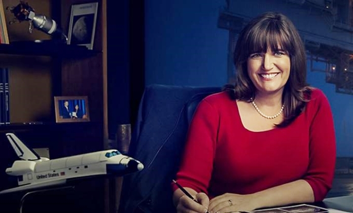
NASA doesn’t just produce amazing pictures. These satellite images can tell us if our efforts to reduce air pollution on Earth are making a perceptible difference from space. The air we breathe affects our quality of life and longevity. By planting more trees and regulating automobiles and gasoline production, we can improve air quality around the world. To that end, I am working on a project that will use artificial intelligence and machine learning to examine and mine NASA satellite and on-the-ground sensor data to show the impact of our pollution mitigation efforts.
By 2030, the City of Los Angeles hopes to see some neighborhoods vastly improve their air quality and achieve a zero fossil fuel footprint. To do this, we’ll need to improve how we construct new buildings, retrofit existing buildings and build transportation infrastructure to allow for more public transit and autonomous electric vehicles. We’ll also need to think about ways we can realistically and sustainably change human behavior. Younger generations want to do things differently; we can empower them to do just that.
To learn more about how NASA studies our home planet today, visit: https://www.nasa.gov/content/earth-day-2020
 |
 |
 |


