PATTAYA, Thailand – The Meteorological Department has warned that Pattaya and surrounding areas along Thailand’s eastern seaboard will continue to experience unsettled weather, with thunderstorms and moderate sea conditions, while a new cold air mass is set to affect parts of the country in the coming days.
According to the forecast, a low-pressure cell has moved over the lower Andaman Sea, while a moderate northeast monsoon continues to prevail over the upper Gulf of Thailand and the South. As a result, Pattaya and nearby coastal areas may see periods of rain and thunderstorms.
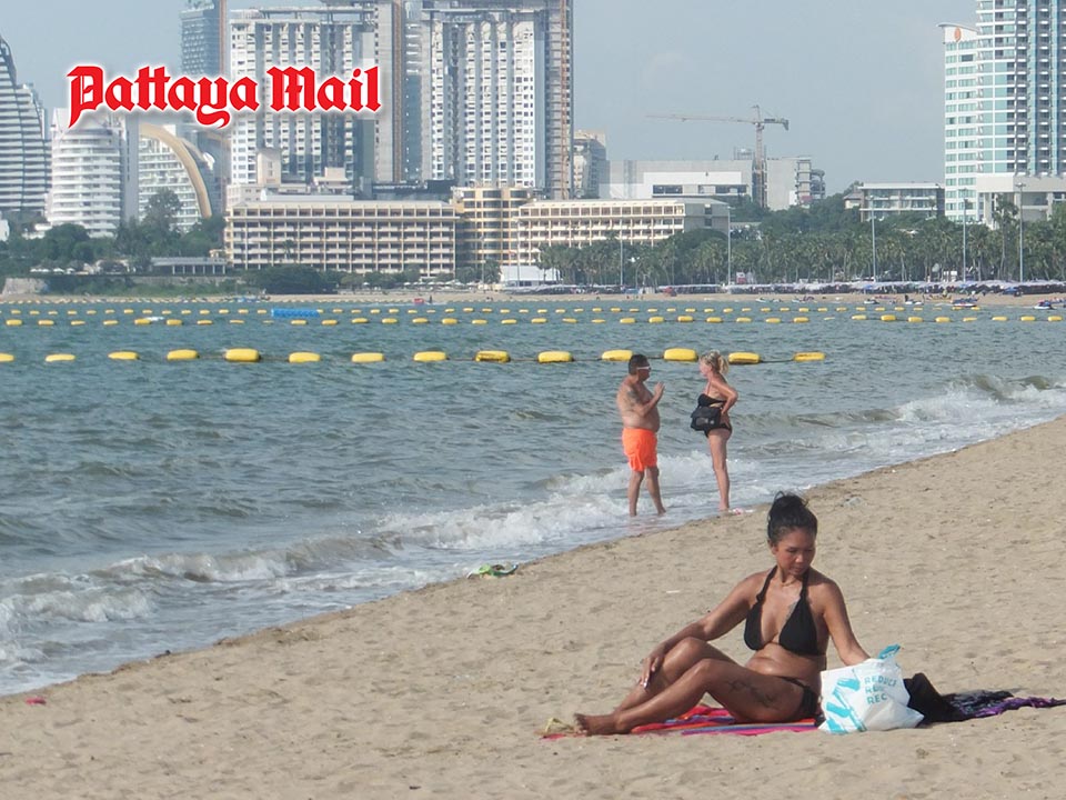
In the Gulf of Thailand, sea conditions remain moderate. Waves in the upper Gulf are expected to reach about 1–2 metres, while areas experiencing thunderstorms could see waves exceeding 2 metres. Authorities have advised small boats and marine operators in Pattaya to proceed with caution and avoid sailing during stormy conditions.
While upper Thailand may see scattered rainfall, the Meteorological Department noted that the Northeast is preparing for a new surge of cool air from China, expected to spread southward from December 14. This system will bring cooler temperatures and stronger winds to the Northeast first, with other regions feeling its effects later.
For Pattaya and the Eastern region, residents and visitors are advised to remain alert to sudden weather changes, particularly heavy showers and gusty winds. Beachgoers and marine tourism operators should closely monitor weather advisories.
The department added that air quality in upper Thailand remains at low to moderate levels due to intermittent rainfall, helping limit dust accumulation.
People are urged to take care of their health during the changing weather, watch out for thunderstorm-related hazards, and for farmers to prepare measures to protect crops from possible weather-related damage.


