

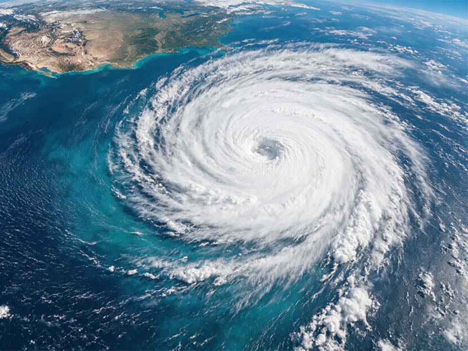
BANGKOK, Thailand – The powerful Super El Niño of 2026 is driving an unusual split in weather patterns across the world’s two largest ocean basins, with the Pacific experiencing exceptional tropical storm activity while the Atlantic remains unusually quiet.
The phenomenon is being described by international media as an extraordinary reversal between the two basins. A strong El Niño typically suppresses Atlantic hurricanes by increasing wind shear while providing conditions that favour stronger storms across the Pacific.
Atlantic unusually quiet as Pacific storms intensify
The North Atlantic has recorded an exceptionally subdued hurricane season. As of September 25, no full-strength hurricane had formed in the Atlantic for the first time in more than a century, with only seven named storms reported at that point.
The Pacific, meanwhile, has experienced the opposite pattern. By late September, the eastern and central Pacific had recorded unusually high numbers of tropical systems, with multiple major hurricanes forming in rapid succession. Hurricane Nolo also threatened Hawaii with torrential rain and flooding, following earlier powerful storms Lala and Lowell.
Scientists say the unusually warm Pacific waters associated with the powerful El Niño are helping fuel the heightened storm activity. University of Miami hurricane expert Brian McNoldy has said the current event could become the strongest El Niño on record, with its peak expected during the coming winter and effects potentially continuing into 2027.
Coastal flooding risks extend beyond the tropics
The effects are not limited to hurricanes. El Niño can alter ocean circulation, atmospheric pressure and rainfall patterns across distant regions, increasing the risk of flooding, drought, heatwaves and wildfires.
California is also facing elevated coastal risks, with El Niño-related ocean conditions contributing to higher tides and larger coastal swells. Recent reporting has highlighted the potential for unusually high water levels along parts of the California coast as the event develops.
Thailand faces agricultural and water risks
The effects of the powerful Pacific warming pattern are also expected to reach Southeast Asia, although the precise impacts will vary by location and season. Krungthai COMPASS has warned that a Super El Niño extending from the second half of 2026 into 2027 could create significant risks for Thailand’s agricultural and food sectors, particularly through irregular rainfall and drought conditions. Its analysis identifies agriculture and food production as among the sectors most exposed.
KKP Research has likewise warned that El Niño could bring longer dry spells and water shortages, although it noted that relatively high water reserves in major Thai dams could help cushion the impact in 2026. The research also highlighted other risks, including fertilizer shortages and their potential effect on rice production.
Earlier estimates cited in the supplied report put potential agricultural losses associated with drought at about 61.86 billion baht, with rice, sugarcane and cassava among the crops considered particularly vulnerable.
Rainfall could become increasingly uneven
For Thailand, the concern is not simply less rain. A stronger El Niño can contribute to greater rainfall variability, with some areas experiencing prolonged dry periods while others receive intense rainfall over short periods. Such swings could complicate reservoir management, crop planning and water allocation, while increasing uncertainty for farmers and food-processing businesses.
Extended dry conditions could also increase the risk of agricultural burning and wildfires in Thailand and neighboring countries, potentially adding to transboundary smoke and PM2.5 pollution during the following dry season. With the current El Niño expected to remain influential into 2027, meteorologists and economic analysts are watching its development closely for potential effects on water supplies, agricultural output, food prices and extreme weather worldwide.