SARABURI, – The Department of Primary Industries and Mines has used a drone to take aerial photos of a stone mill factory in Saraburi province to pave the way for future mine development.
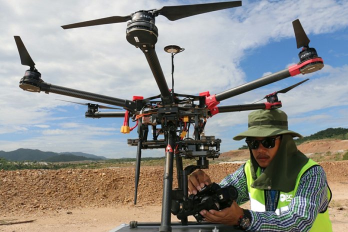
Director of the Bureau of Engineering and Land Rehabilitation of the Department of Primary Industries and Mines Sura Petpirun led a group of reporters on a trip to observe an unmanned aircraft operation at Silasanon Stone Mill Factory.
The drone was used to survey and take pictures of the areas around the factory. The pictures will later be used to draw a map for the development of a limestone mine. The Department of Primary Industries and Mines also has similar plans in place to develop a calcite mine in Lopburi and gypsum mines in Phichit and Nakhon Sawan provinces.
The drone has been introduced as an effective tool to determine the boundaries of the mines and to remind the private companies, who received government mining concessions, not to go beyond the agreed areas.
Sura claimed the drone was just as efficient and effective in surveying the areas as a GPS system. The use of this aerial technology is also expected to be enforced under Thai laws in the middle of next year as it is cost-effective and can be used as often as needed.


