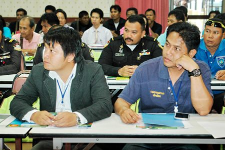
As construction nears completion on the first weather-radar station in Pattaya, a Ministry of Science and Technology agency met with city workers to train them to put the data soon to be collected to good use.
Chaowalit Silpathong, deputy director for the Geo-Informatics and Space Technology Development Agency met with more than 100 city council members, community leaders and government workers Aug. 7 at city hall to discuss implementation of the radar systems.
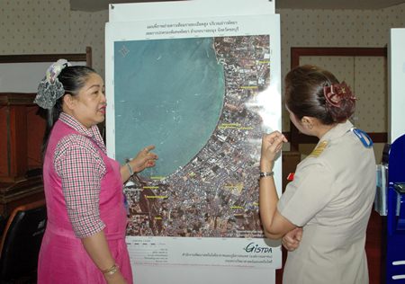
 A GISTDA officials explains how to read data from the coastal radar-based weather monitoring station being installed on the Pratamnak Hill coastline.
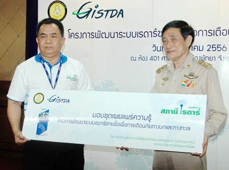
GISTDA is installing 18 coastal radar-based weather monitoring stations to track storms, tidal waves and other potential sea disasters. One of those stations is being built on the Pratamnak Hill coastline and will soon be operational.
“From September to December every year, there are storms causing disruption in Gulf of Thailand. Therefore, GISTDA is installing radar on the coast to check the water currents and waves in real time to increase confidence in managing disasters,” Chaowalit explained.
“The benefits of installing these stations for the public is in the management of oceanography, environment and water such as development of water sources, planning of shipping and logistics, development of agriculture and breeding of sea animals, sounding of emergency and disaster mitigation, warning of sea disasters, sea rescue, fishermen and preservation of sea and nature resources, meteorology and weather forecast, pollution control and coastal control such as oil spills,” he said. “GISTDA will use this information to measure the waves and water currents and information for the satellite to monitor and predict the mobility of oil slicks to help in collecting oil that has been scattered in the sea.”
Training is intended to help local workers analyze and study the data as it relates to weather changes and prevention of damage from natural disasters. Information to be provided includes wave height and current speed; real-time video will be available.


